
PROUD PARTNERS



SERVICES
 Design, development and maintenance of geoinformation systems
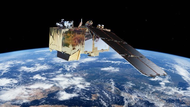 Remote sensing
 Drone recording and terrain mapping
 Recording and mapping of underground installations
 Digital cartography
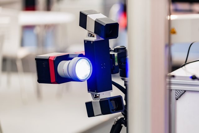 Spatial data sensory collection
 Design and implementation of spatial databases
 Cloud technology
 Web GIS systems
 Spatial analysis and GIS solutions for companies
 Big Data analysis
 Internet of things (IoT)
 Smart City solutions
 Complete GIS solutions for local governments
 Geomarketing
 Spatial analysis and traffic GIS systems
 GIS based agricultural information systems
 GIS based forestry info systems
 GIS based real-time flood mapping systems
 GIS based systems for epidemiological risk management
 GIS based systems for environmental risk management
 Open source, home based solutions and process automation
 Education and training
 You have an idea or a problem - Free consulting